Bring parking, permits, inspections, evidence and reporting into one practical council workflow.
Snapshots miss the pattern
A single survey pass can miss peak periods, long-stay behaviour and changes in use across the day.
Aero Ranger helps teams understand how parking zones, kerbside areas, loading bays, patrol areas and survey locations are actually used across the day.
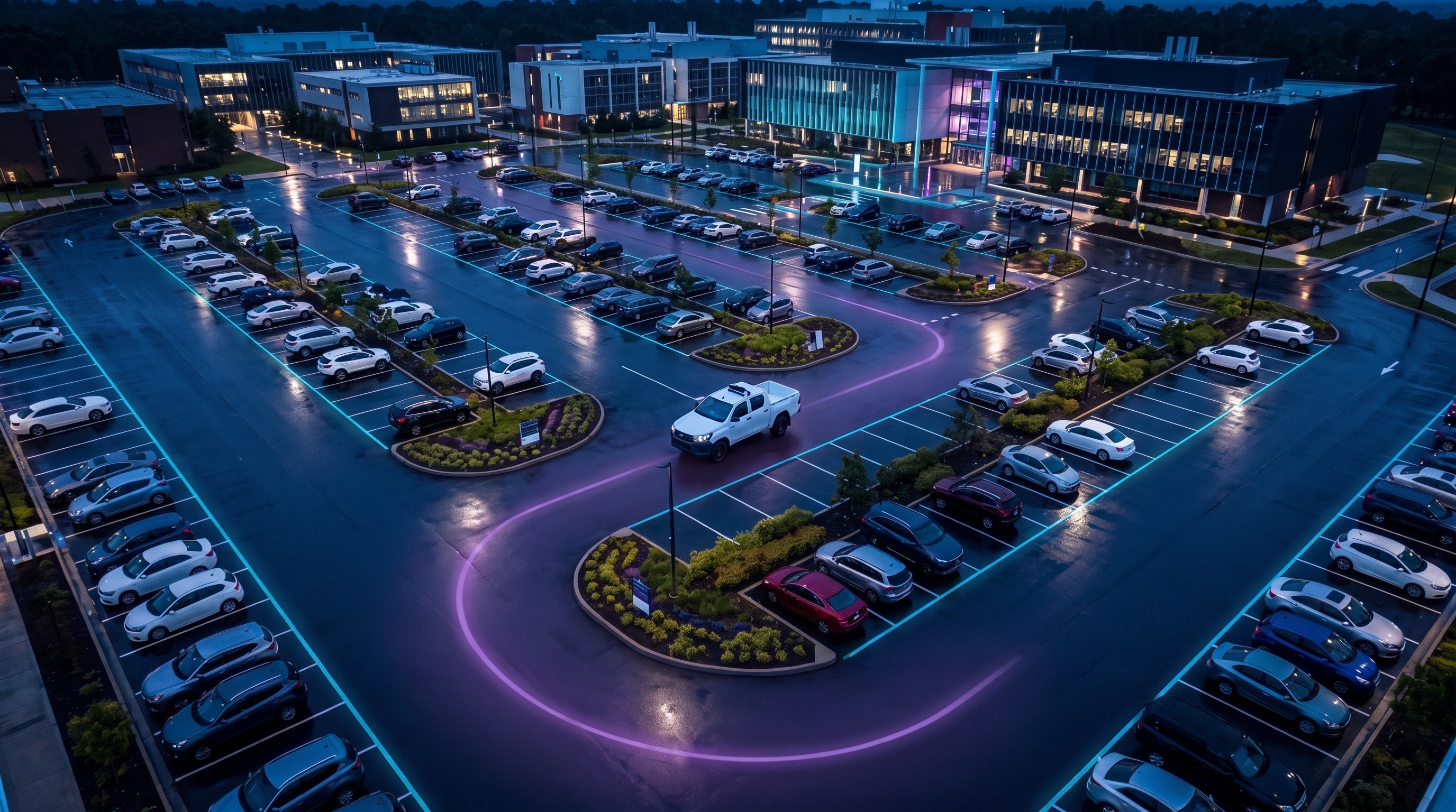
Kerbside and parking decisions need evidence about occupancy, dwell, turnover, compliance activity and time patterns across real operating periods.
A single survey pass can miss peak periods, long-stay behaviour and changes in use across the day.
Different rules, locations and collection periods make it difficult to compare utilisation fairly.
Changes to time limits, loading rules, permits or pricing need review-ready utilisation data.
Teams need to know which zones are under pressure and which areas do not need the same level of attention.
The useful question is not which feature exists. It is whether the team can see the place, rule, evidence, exception, next action and review history before making a decision.
Define zones, bay groups, kerbside areas, time limits and operating windows.
Zones, schedules, maps, rule profiles and active hours.Capture vehicle observations for occupancy, dwell, turnover and local-area reporting.
Surveys dashboard, collection routes, observation records and reports.Review movement and repeat observations to understand how vehicles use a zone over time.
Vehicle replay, sighting history, time filters and zone context.Measure how long vehicles stay and how often spaces turn over within each configured rule.
Dwell windows, time analysis, exports and zone analytics.Compare utilisation with enforcement and survey activity so field effort follows demand.
Officer activity, active sites, zone analytics and reports.Export utilisation evidence for management reports, transport planning and operational reviews.
Generate report, create exports and saved reporting views.Zone utilisation needs location context and time context: where activity happened, when demand changed and which rules applied.
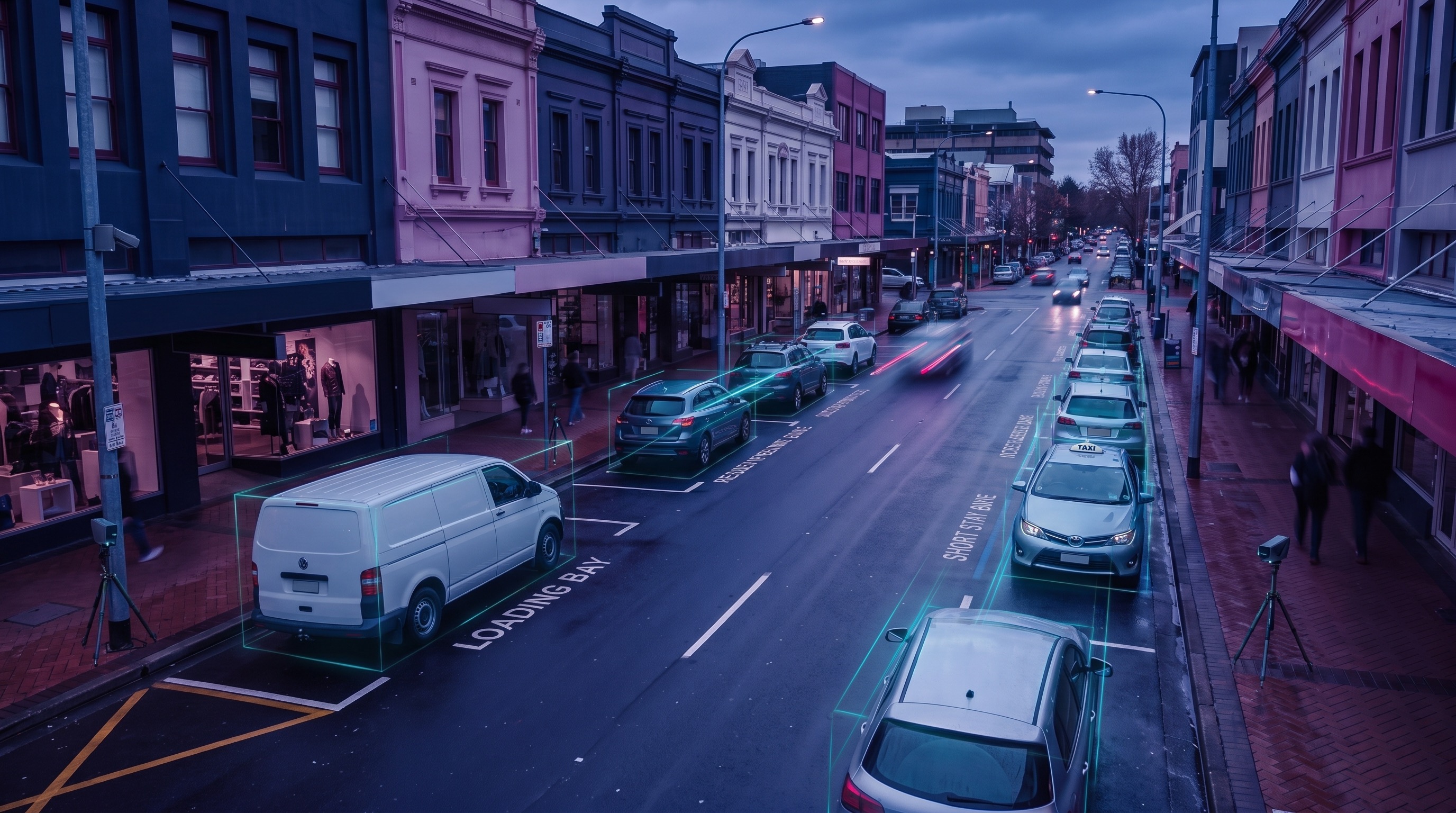
See how often bays, zones or kerbside areas are occupied across selected periods.
Understand whether the same vehicles stay too long or whether spaces are changing over as intended.
Compare utilisation with patrol coverage, survey collection and field activity.
A utilisation report links mapped zones, observations, dwell, turnover and policy review notes.
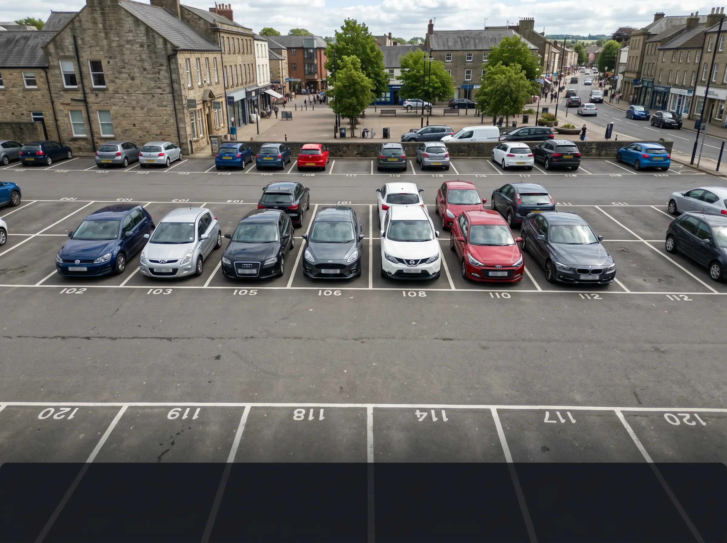 Vehicle presence and turnover by bay group
10:00-14:00 · Retail core
Vehicle presence and turnover by bay group
10:00-14:00 · Retail core
Leviable parking spaces and utilisation context
Aero Ranger keeps the issue photos, place context, rule context and follow-up state together so the case can be checked later without rebuilding the record.
The issue photo stays on ZONE-UT-12 with the case note and current case status.
Site, street, reserve, bay, kerbside or zone context stays attached so reviewers can see where the issue occurred.
The relevant signage, permit condition, local-law category or operating rule is recorded beside the issue evidence.
Later photos, reinspection notes, notice evidence and closure decisions remain in the same case trail.
Zone utilisation is an evidence exercise. Council needs to understand how a street, car park, loading area or permit zone is actually used before changing rules, pricing, patrols or signage.
Choose the zone, bay group, time period, capacity, rule, nearby demand driver and whether the question is occupancy, turnover, dwell or compliance.
Record vehicle presence, repeat sightings, dwell, turnover, empty capacity, officer activity and data-quality notes.
Compare use against policy intent, report pressure or spare capacity, and brief parking, transport or economic development teams.
Street, car park, bay group, loading area, permit area, active rule, capacity and operating period.
Vehicle sightings, occupancy, dwell time, turnover, repeat presence, survey window and collection method.
Nearby demand drivers, events, restrictions, permit settings, enforcement activity and data quality notes.
Utilisation, turnover, long-stay pressure, empty capacity, peak periods and mismatch between rule and use.
Maps, exports, management summary, recommended patrol focus and policy review inputs.
Start with priority zones, measure utilisation, review exceptions and export findings for operational or policy decisions.
Select the parking zones, kerbside areas, corridors or bay groups to measure.
Run survey passes or use operational observations to build occupancy and dwell records.
Review occupancy, dwell, turnover and pressure by zone and time period.
Match utilisation patterns with patrol coverage, officer activity and case outcomes.
Export findings for operational planning, transport review or zone rule changes.
Once zone data is structured, the same workflow supports time analysis, ROI, event planning and enforcement focus.
Use the same zone data to understand demand by time of day and day of week.
Compare utilisation and enforcement activity against outcomes and revenue indicators.
Measure temporary utilisation around events, venues and special operating periods.
Understand whether loading zones and clearways are operating as intended.
Use these CORE guides when setting up the zones, cases, permits, evidence templates, notices and reports that support this operating model.
Set up zones, maps, boundaries and operating rules.
Open guide ->Review survey collection, activity and reporting.
Open guide ->Replay observations and movement context across zones.
Open guide ->Produce reports from survey and utilisation data.
Open guide ->Share the short brochure with stakeholders, then use the procurement guide to frame requirements, governance, rollout and evaluation.
A client-ready summary of the operating problem, the workflow, and how Aero Ranger helps council teams manage it.
Open brochure - PDFA practical buying guide for requirements, evidence, local-law setup, integrations, governance and pilot planning.
Open guide - PDFBring a town centre, campus, kerbside corridor or loading zone and we will show occupancy, dwell, turnover, exports and reporting.

